Area maps?
Moderators: bman, Chalk, Tom Keels
-
rgharris83
- Posts: 46
- Joined: January 16th, 2002, 8:00 pm
- Location: Tallahassee
Area maps?
Any of you use a local map to fish our areas? I've always seen Florida Sportsmans map but had my doubts? I'm mostly looking for something to show me some detail of our local waters....

-
rgharris83
- Posts: 46
- Joined: January 16th, 2002, 8:00 pm
- Location: Tallahassee
Thanks guys!
I'm really liking the MapTech site.......


I use
http://terraserver.microsoft.com/
but the maptech site looks like I should investigate it a little further.
Thanks Chalk.
This one is useful for finding mileage.
http://www.gmap-pedometer.com/
http://terraserver.microsoft.com/
but the maptech site looks like I should investigate it a little further.
Thanks Chalk.
This one is useful for finding mileage.
http://www.gmap-pedometer.com/

-
Bakertize
- Site Sponsor
- Posts: 128
- Joined: October 3rd, 2005, 9:18 am
- Location: wakulla river
- Contact:
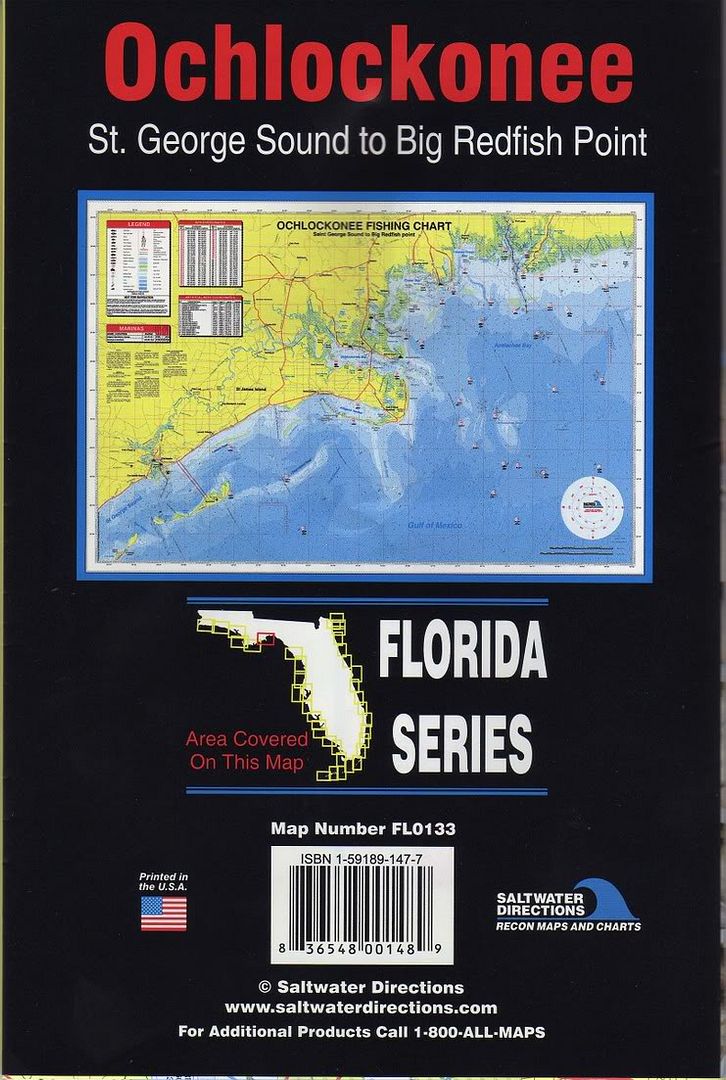
I like TOP SPOT map # N231 ( Panacea to Apalachee bay area on front, Steinhathee to Cedar Key on back)
then transfer important numbers or comments to my garmin chart plotter.
though blue chart waypoint manager.
and use google earth pro for sat images of areas and u can over lay waypoints, routes , and tracks on the sat image

then transfer important numbers or comments to my garmin chart plotter.
though blue chart waypoint manager.
and use google earth pro for sat images of areas and u can over lay waypoints, routes , and tracks on the sat image