Page 1 of 1
Area maps?
Posted: March 4th, 2005, 1:23 pm
by rgharris83
Any of you use a local map to fish our areas? I've always seen Florida Sportsmans map but had my doubts? I'm mostly looking for something to show me some detail of our local waters....
Posted: March 4th, 2005, 1:37 pm
by dbplug
If not Garming bluechart software, West Marine has maps ~ $15.00 I think. I had to get two because the cutoff for E/W was right at the mouth of the St. Marks River.
Posted: March 4th, 2005, 2:06 pm
by Chalk
maptech.com online free maps and photo's
Thanks guys!
Posted: March 7th, 2005, 8:39 am
by rgharris83
I'm really liking the MapTech site.......
Posted: February 8th, 2006, 11:43 am
by jsuber
Use Google earth or buy a hotspot map or check out free maps at
http://www.freeboatingcharts.com/
Posted: February 8th, 2006, 8:12 pm
by Charles
I use
http://terraserver.microsoft.com/
but the maptech site looks like I should investigate it a little further.
Thanks Chalk.

This one is useful for finding mileage.
http://www.gmap-pedometer.com/
Posted: February 8th, 2006, 8:22 pm
by Chalk
terrafly.com is the bomb, but you gotta pay after some many views
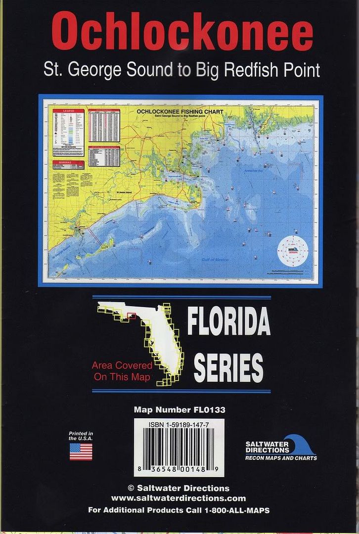
Maps
Posted: February 9th, 2006, 9:58 pm
by Apalach
This is one that I have found useful. Available at West Marine in Tally.
Posted: February 12th, 2006, 11:18 am
by Bakertize
I like TOP SPOT map # N231 ( Panacea to Apalachee bay area on front, Steinhathee to Cedar Key on back)
then transfer important numbers or comments to my garmin chart plotter.
though blue chart waypoint manager.
and use google earth pro for sat images of areas and u can over lay waypoints, routes , and tracks on the sat image

